Mapping Marine Debris with ArcGIS and Drone Technology by admin | Jun 10, 2015 | Development, In the News, Technology | OA students welcomed back Dr. Hawthorne, Dr. Visaggi and 13 GSU students for a second year of ArcGIS and Drone Technology in mapping marine debris. Read more.

![FullSizeRender[2]](http://oaseatide.com/wp-content/uploads/2015/06/FullSizeRender2.jpg) OA students welcomed back Dr. Hawthorne, Dr. Visaggi and 13 GSU students for a second year of ArcGIS and Drone Technology in mapping marine debris. Read more.
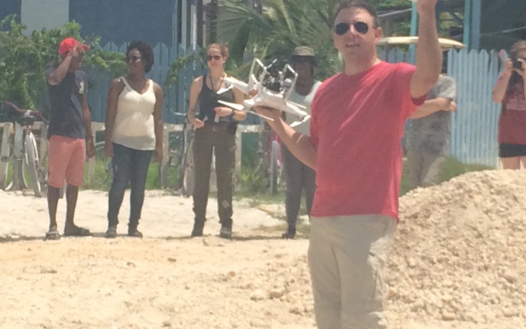
OA students welcomed back Dr. Hawthorne, Dr. Visaggi and 13 GSU students for a second year of ArcGIS and Drone Technology in mapping marine debris. Read more.